Mapping Land and Sea — Designing an Interactive Floor Plan for a Complex Layout
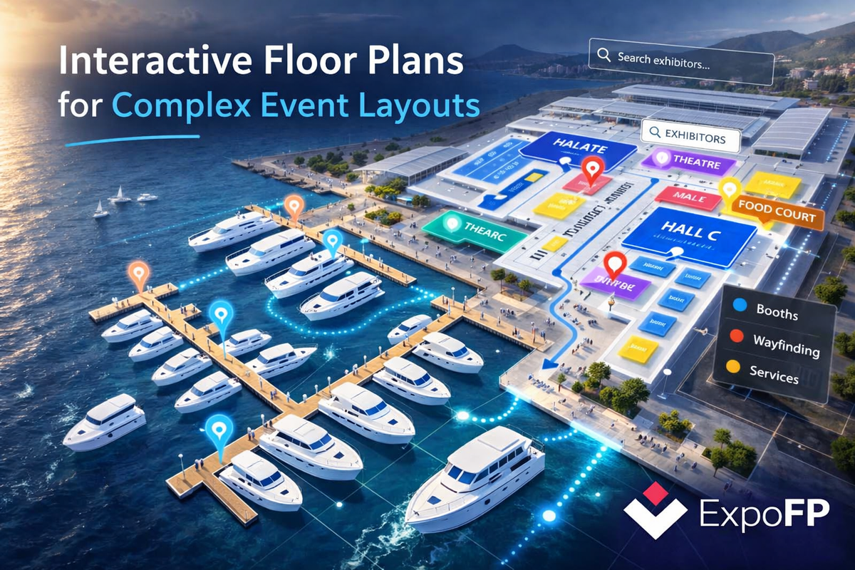
When an event stretches across both land and water, a traditional floor plan simply isn’t enough.
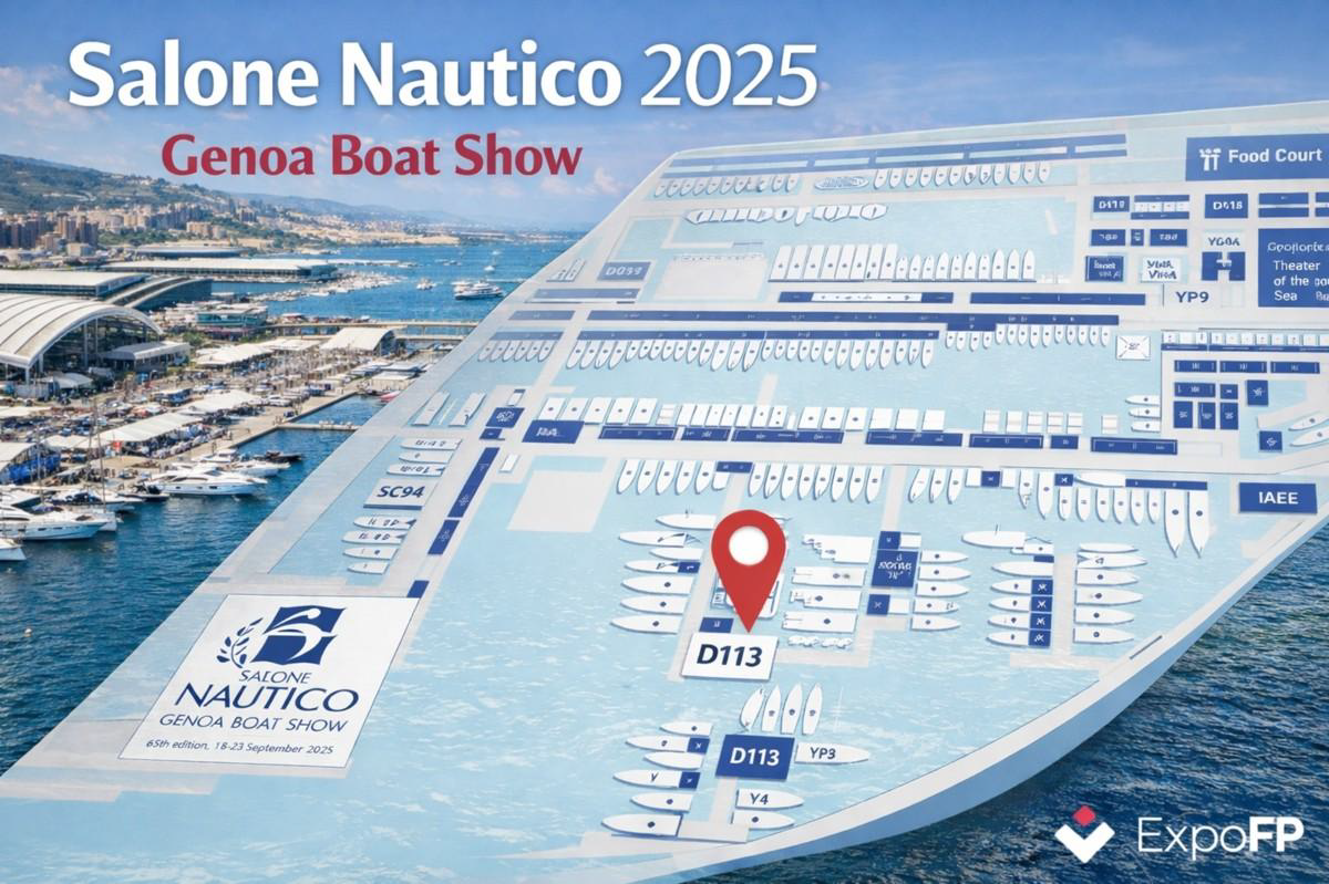
For the 65th Genoa International Boat Show (Salone Nautico), held at Genoa’s Waterfront Marina, organizers faced a unique challenge: how to clearly represent indoor halls, docks, floating exhibits, and visitor pathways in one intuitive digital experience.
The layout combined pavilions on land with boat-shaped stands in the marina — a format that made static maps diffi cult to read and even harder to update during the show.
To solve this, we designed an interactive floor plan that brought clarity to complexity.
ExpoFP team created custom boat-shaped booths and standardized them for readability. A two-level navigation system allowed visitors to move seamlessly between land and sea areas. Wayfiding paths connected docks, entrances, and amenities, helping attendees plan their journey more effi ciently.
The result was a responsive, easy-to-navigate digital map that supported both visitor experience and operational effi ciency. Attendees could find exhibitors, theaters, and public areas with ease, while organizers reduced coordination friction across teams.
As Francesco Maggioni of I Saloni Nautici noted:
“The show was a success and we are very satisfied with the interactive map. You did an excellent job delivering the map in time for the event.”
For events that extend beyond traditional hall layouts — whether outdoor festivals, airshows, or city-wide events — interactive floor plans provide the fl exibility needed to keep complex environments connected.